The Lab holds the more extensive and versatile UAV fleet in Cyprus (at least), covering all aspects of mapping (RGB and Near Ifrared), still photos or video, vertical, obligue, horizontal, from 0.1 mm to 20 cm ground pixel size, able for mapping from a few sq m or up to 5 sq km per flight and up to 80km flight lines, with 40km real time data link.
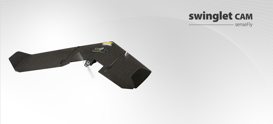
SwingletCam by SensFlyCollects aerial imagery up to 1.5 sqkm in a single flight.
The swinglet CAM has a flight time of up to 30 minutes allowing to cover areas of up to 1.5 sqkm or 10 km straight line in a single flight. With its 12MP camera it can shoot aerial imagery down to 3cm/pixel resolution or up to 12 cm/pixel. Equipped with on board GPS and INS the UAV is capable for fully autonomous flight from hand launch take off to landing, without the need of an experienced operator. Operator is only necessary for safety reasons. The images can then be used to create maps, NDVI indexes and elevation models with a precision of 5cm and a ground pixel size of 3 cm. RGB and near Infrared camera available for any flights and any mapping mission. |
3DRobotics Hexa converted to Y HexaCapable for fully autonomous flight with preloaded waypoints using open source software. Equipped with advanced autopilot system capable for auto take-off and landing using on board GPS for navigation, hold position, return to home emergency, etc. Dual batteries on board may hold up to 25 min flight with mapping camera load (dual camera load is possible). Direct data link for real time footage on standarda android or win 8 tablet. Remote controlled camera mount with vertical and oblique capability. Stabilized (auto-pilot assisted) manual flight.
RGB 18Mp camera with interchangable lenses and a 12Mp near Infrared camera available for any flights and any mapping mission. Pin point photography is also possible. Maximum Take-Off Weight 3000g |
|
Examples of projects:
HawkEye
Amathounta
SARCOS
SBA UAV mapping
Direct orthophotos from colour point clouds
Plant Stress Analysis
ARCHEOphoto
Previous experience with UAV mapping
HawkEye
Amathounta
SARCOS
SBA UAV mapping
Direct orthophotos from colour point clouds
Plant Stress Analysis
ARCHEOphoto
Previous experience with UAV mapping
|
|
|


